

GeoMaze (SaaS) - A Powerful GIS/Maps/Geospatial Visualisation Product
Maze Worldwide Limited · Intelligence & Research
Certification per Microsoft Marketplace.
Evidence tier Source Confirmed · 9 captures on record
What the publisher says
As described on Microsoft Marketplace.
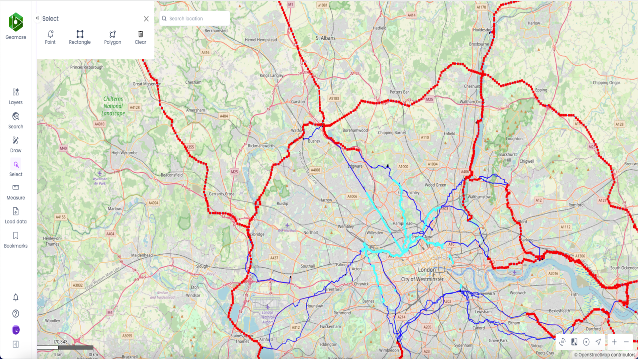
Geomaze is a browser based Powerful GIS/Maps/Geospatial Visualisation Product which equips users with rich interactive user interface to interrogate data. It is a secured, reliable GIS product delivered using the SaaS, Private Cloud or On-premise.
Geomaze uses geographic information to visualise, analyse, and understand data in relation to a location or geography. Some common features of Geomaze include:
Show the rest of the publisher’s description (15 more lines)
- Mapping: Geomaze has a mapping component that allows users to display data on a map and interact with it visually, including the ability to pan, zoom, and view different layers of data.
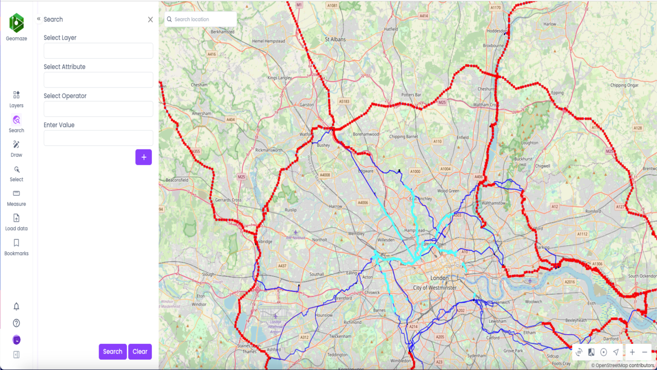
- Spatial analysis: Geomaze provides tools for analysing spatial data and patterns in relation to geographic locations, such as calculating distances and areas, identifying patterns and trends, buffering, overlay analysis, spatial statistics and performing spatial queries.
- Real-time data integration: Geomaze provides the ability to display real-time data, such as traffic flow or weather patterns, on a map.
- Visualisation: Geomaze provide the ability to display geographical data using various symbols, colours, and styles to highlight specific features or patterns in the data.
- Geocoding: Geomaze has the ability of converting addresses into geographical coordinates (latitude and longitude), and vice versa, that can be displayed on a map.
- Routing and Optimisation: Geomaze has the ability to calculate the shortest or quickest path between two or more locations, taking into account various factors such as traffic conditions, distance, time, road conditions and road types.
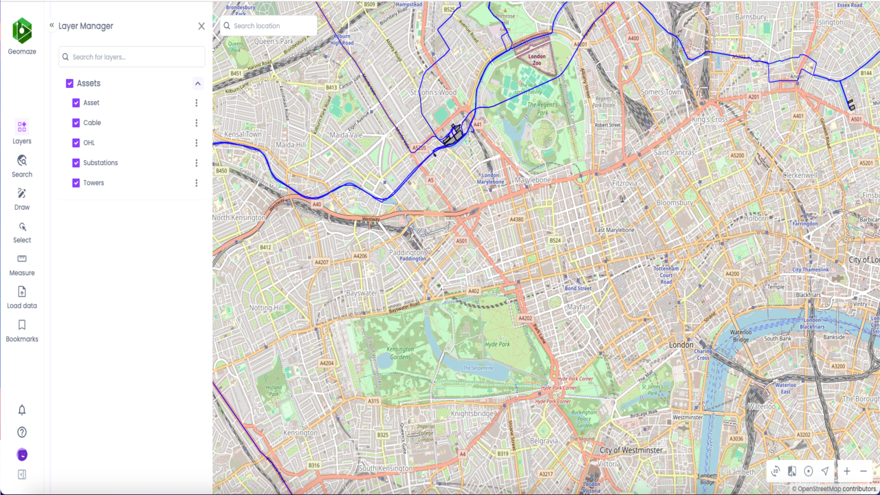
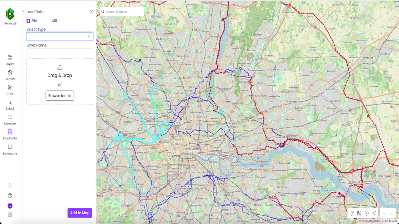
- Data management: Geomaze provides tools for managing and organising data, including import/export functions, data editing, and data visualisation tools.
- Data integration: Geomaze has the ability to import and integrate data from a variety of sources, including databases, spreadsheets, and web services.
- 3D visualisation: Geomaze provides 3D visualisation capabilities, allowing users to view data in a virtual 3D environment and perform analysis in a more immersive and intuitive way.
- 3D analysis: The ability to analyse 3D models of the landscape, including the ability to visualise terrain and buildings in 3D.
- Mobile compatibility: Geomaze is designed for use on tablet and mobile devices, allowing users to access and use the data on the go.
- Collaboration: Geomaze provides tools for collaboration and sharing of data and analysis results among teams and organisations.
- Remote sensing and imagery analysis: The ability to process and analyse remote sensing data, such as satellite imagery or aerial photographs, to create maps and perform spatial analysis.
- Encroachment management: Geomaze can be used to create maps that clearly show the boundaries of properties or assets and to identify and track instances of encroachment. This information can be used to support land use planning and enforcement efforts and to help resolve disputes over land use.
Geomaze can used in a wide range of industries, including utilities, environmental management, transportation, urban planning, real estate, and natural resources management. It provides valuable insights into patterns and relationships between geographic data and other types of data, helping organisations to make informed decisions based on location-based information.
Preview
5 images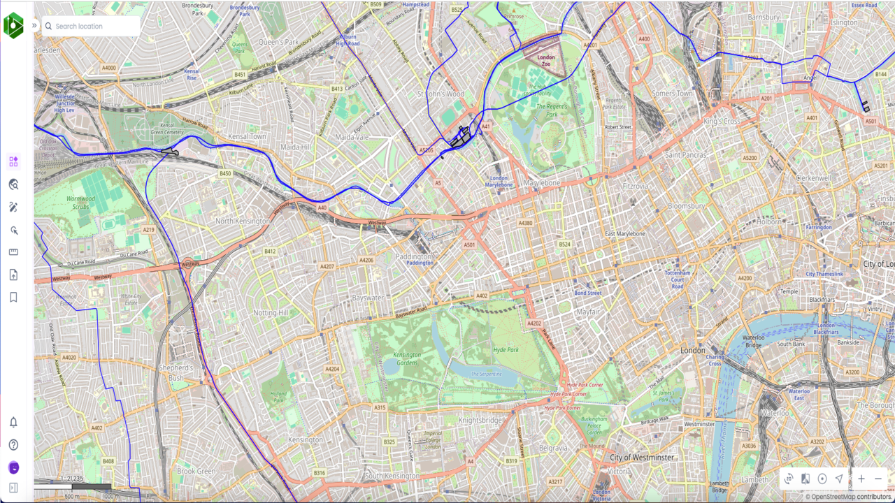
Agent build and provenance
See the full provenance
The layer-by-layer build, the evidence behind each claim, the risk basis and the cross-marketplace links are open to any account. Some rows are disclosed, some the source leaves Unknown; a free account shows you which.
Compliance
- FedRAMPConfirmedNot listed90%, registry-checkedNo FedRAMP Marketplace entry matched this vendor's domain, checked 2026-08-27registry recordas observed 2026-08-27
Confirmed means matched to a public authoritative registry. Claimed means the vendor or its listing states it, not yet cross-checked. A framework not shown was not found in any source we hold, which is not evidence against it. Not listed means a scoped registry check found no match for this vendor's domain: a No is a scoped registry check, not a compliance judgment. Confidence bands: 95% domain-verified, 90% registry-checked, 80% self-attested, 70% weak signal. Self-attested items marked “vendor's site” are gathered from the vendor's own website and are not verified by us.
Vendor
External enrichment
Plans and pricing as listed
3 listedSources
Publisher resources
1 linkLinked repositories
Unknown means this listing does not publish a repository. It is not a statement that the code is closed, and a linked repository is not a claim that the publisher wrote it: the registry computes that relationship privately and does not publish it.
Evidence risk is the share of the build you cannot see before you deploy, not a security rating. Sign in to see the layer-by-layer basis for this band.