
Digital Elevation Model API - Terrainizer
SC DE VIS SOFTWARE SRL · Software Development
Certification per Microsoft Marketplace.
Evidence tier Source Confirmed · 10 captures on record
What the publisher says
As described on Microsoft Marketplace.
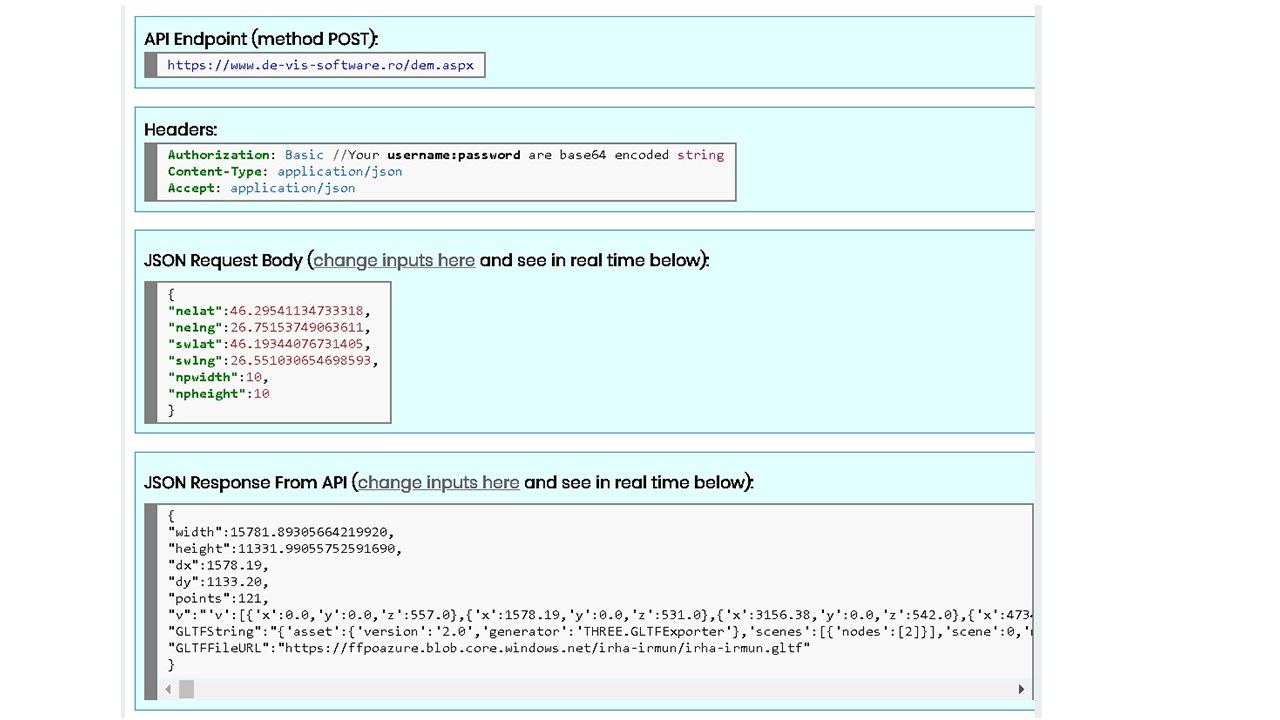
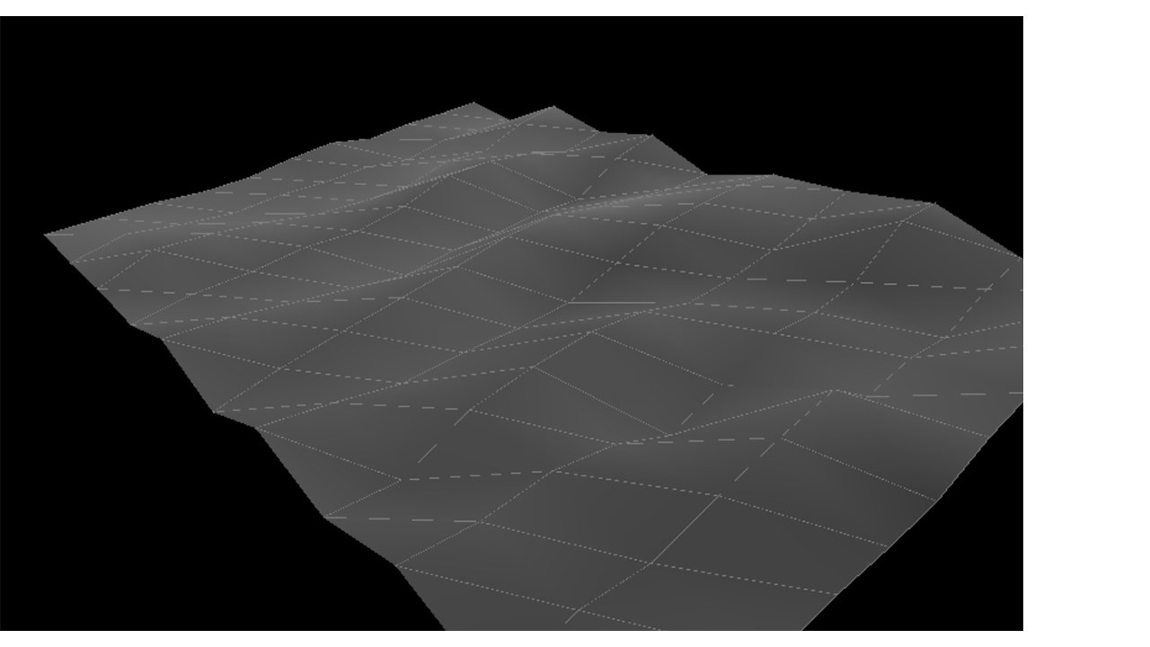
Digital Elevation Model API - Terrainizer (a solution to digital terrain model) is a cross browsers REST API supporting now a maximum of 2601 3D Points per request including all the selected rectangled surface as an array of equally distanced 3D Points as you may see in the figure below. The digital elevation model or digital terrain model (mesh 3D model) is based on a selecting rectangle of a slice on Earth (it may be also on oceans, seas). As data input you need to specify the North East Corner Latitude and Longitude and the South West Corner Latitude and Longitude (as upper right corner and the lower left corner of the selecting rectangle) and also the number of dividing segments on the width of the rectangle (npwidth) and the number of dividing segments on the height of the rectangle (npheight). The number of 3D Points is calculated as (npwidth+1)*(npheight+1). As more 3D points are, as smooth is the resulted mesh 3d model.
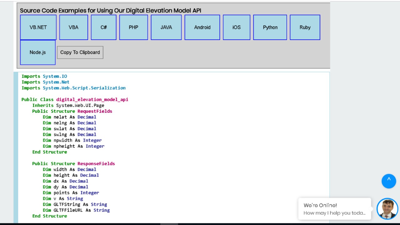
Allthough this digital terrain model API is intended for software development and therefore developers, we have also here an online application that may be used to get the GLTF file of the mesh 3D model alltogether with other useful data like 3D points coordinates (x, y, z), the width and the height of the selecting rectangle, dx (horizontal distance between 3D Points) and dy (vertical distance between 3D Points). Basically for digital elevation model API you send an authorized POST request in JSON format to the digital terrain model API endpoint and you get as JSON response a representing the parametrs given in the table below. You may use it for commercial purposes for paid packages.
Show the rest of the publisher’s description (2 more lines)
Digital Elevation Model APP or API is useful for a large number of domains like: constructions, designers, architecture, 3D modelling, 3D simulation software, agriculture, oceanography etc.
For using our digital elevation model download API and/or APP (or mesh 3D model) you must create an account (free of charge, no card required), activate it from your received email, login and then start your TRIAL package with no fees as you can see at our pricing packages. After you have tested the digital terrain model API and/or APP and if you are satisfied, you may buy a paid package. You will always see at your Admin Console page the real resources consumption in real time, your invoices, you may see/edit/delete your profile or export log consents as GDPR instructed, you may read our FAQs.
Preview
5 images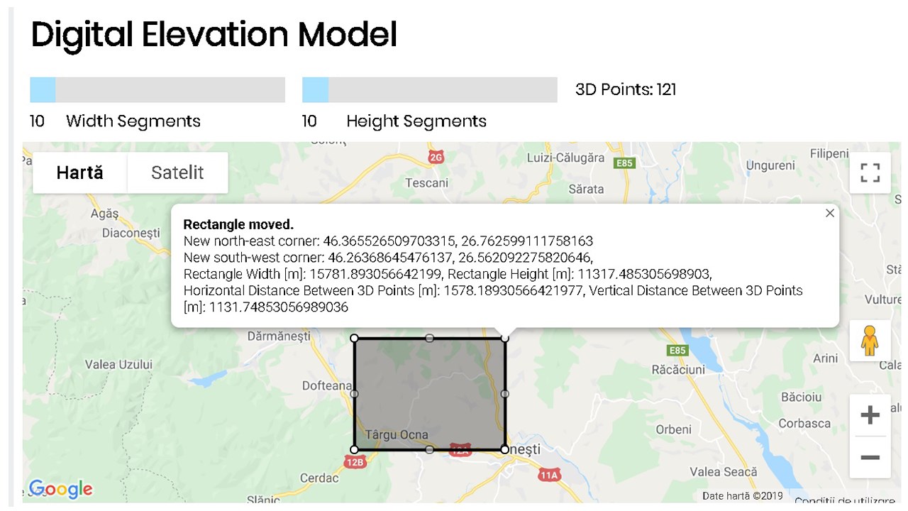
Agent build and provenance
See the full provenance
The layer-by-layer build, the evidence behind each claim, the risk basis and the cross-marketplace links are open to any account. Some rows are disclosed, some the source leaves Unknown; a free account shows you which.
Compliance
- FedRAMPConfirmedNot listed90%, registry-checkedNo FedRAMP Marketplace entry matched this vendor's domain, checked 2026-08-27registry recordas observed 2026-08-27
Confirmed means matched to a public authoritative registry. Claimed means the vendor or its listing states it, not yet cross-checked. A framework not shown was not found in any source we hold, which is not evidence against it. Not listed means a scoped registry check found no match for this vendor's domain: a No is a scoped registry check, not a compliance judgment. Confidence bands: 95% domain-verified, 90% registry-checked, 80% self-attested, 70% weak signal. Self-attested items marked “vendor's site” are gathered from the vendor's own website and are not verified by us.
Sources
Publisher resources
14 linksLinked repositories
Unknown means this listing does not publish a repository. It is not a statement that the code is closed, and a linked repository is not a claim that the publisher wrote it: the registry computes that relationship privately and does not publish it.
Evidence risk is the share of the build you cannot see before you deploy, not a security rating. Sign in to see the layer-by-layer basis for this band.